


news
Share
Tornado warning issued by Met Office after rain batters parts of UK
Published 16:43 21 May 2025 BST
Updated 16:43 21 May 2025 BST
Homenews
Get our Pub Quizzes and latest news straight to you by clicking here »A warning is in place
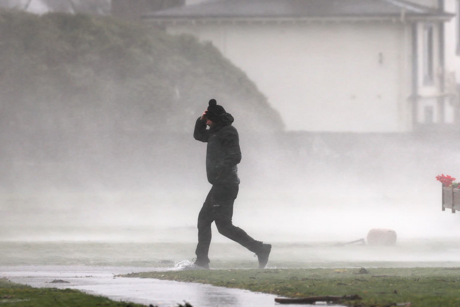
A tornado warning has been issued by the Met Office after rain battered large parts of the UK today.
The warning has come from meteorologists after the UK experiences one of its warmest and driest starts to spring in years.
Much of this building pressure was released as rain in the south of England today, with the wet weather battering the much of the South Coast.
Analysing the weather, one Met Office meteorologist Alex Burkill said it was "not out of the question that we could see a funnel cloud, maybe even a brief tornado across parts of the South East".
He noted that there was a "bit of a North-South split in our weather through today".
The weather expert said: "Northern parts having a lot of fine, sunny weather, meanwhile in the South we've seen some wet weather push its way in... and there will be further showery bursts to come as we go through the rest of today."
As of last Friday, rain fail for this time of spring was down 20mm on the previous record low for the whole season set in 1852
This has led to the Environment Agency warning that such a dry spring could lead to droughts further on in the summer.
Despite a brief wet period in the south, the country can look forward to a continued dry spell from Thursday with only few showers forecasted in the South West of England.
Wet weather is expected to return for the weekend in places.


