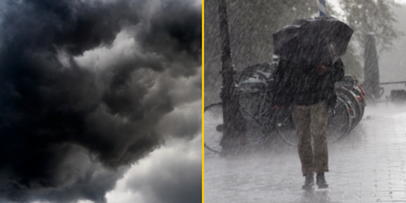
The Met Office expects all parts of the country to experience heavy rain in the coming days
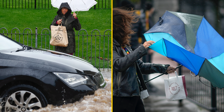
Storm Freya may have left our shores but the UK is set for a week of constantly changing weather conditions, creating a potential risk of flooding as well as snow and sleet.
The weekend saw over 1,000 homes go without power and parts of the M4 shut down as the entire west coast was battered by gusts. These topped out at 76 mph in the Mumbles with Cornwall, the Channel coast and northern regions of Wales and England bearing the brunt of the windy weather.
But these conditions are only set to give way to unsettled periods of heavy rain that could lead to flooding.
Met Office forecaster Graham Madge told JOE: “It’s a very unsettled picture, so the pattern that we’re now in is one of successive low pressure systems affecting the UK, this is all to do with the jet stream. It’s just to the south of the UK but during the week it will cross us.
“On Wednesday and Thursday we’re expecting heavy rain for pretty much the whole of the UK at times, and worth noting that as the warm front crosses us on Wednesday there will be a risk of sleet and snow on hills in northern England and Scotland.
“One point to note is that on Wednesday and Thursday we will be seeing heavy rain affecting the UK so we will need to look at things like river response. From a forecasting point of view, it’s important to point out that rivers may well respond to the amount of rain that we expect to see, particularly on Wednesday but also heading into Thursday.”
However, Tuesday should see southern parts of the UK enjoy a brief respite with a sunny morning pushing the temperature comfortably into double figures for lunchtime.
“Tomorrow, for example, doesn’t look a bad day for many parts of the UK, particularly the southern half. There will be clearer spells certainly in the early part of tomorrow,” added Madge.