









News

Share
Published 10:44 3 Sept 2026 BST
Updated 10:44 3 Sept 2026 BST
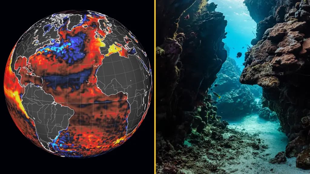
Impacts of El Niño are now felt globally as the world has entered a “danger zone of extreme weather”, head of the United Nations António Guterres has warned.
The latest data on the natural phenomenon has been released by the World Meteorological Organisation (WMO), which show that this could be the strongest El Niño for more than 70 years.
The phenomenon is expect to last until at least February of next year, as per the experts.
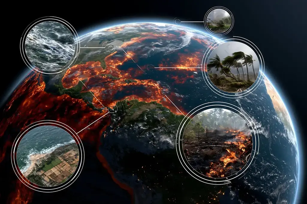
Weather patterns around the globe are changed by El Niño, as it pushes some regions into drought.
Meanwhile, other places experience flooding and stronger typhoons.
According to forecasters, the phenomenon will boost temperatures in some places, coming on top of rising heat globally from human-induced climate change.
Head of UN António Guterres said: “El Niño is being supersized before our eyes. The science leaves no room for doubt: the planet is in uncharted waters, and those waters are heating up.”
For the BBC, governments and scientists spoke about the measures being taken globally to reduce the risk of deaths, displacement and environmental damage.
The WMO, which is a UN agency, said a “major mobilisation” has been undertaken to try to circulate its forecasts of potential extreme weather events, linked to El Niño, to as many communities as possible.
“El Niño has the potential to deliver a massive blow to communities and economies across the world”, warned WMO Secretary-General Celeste Saulo.
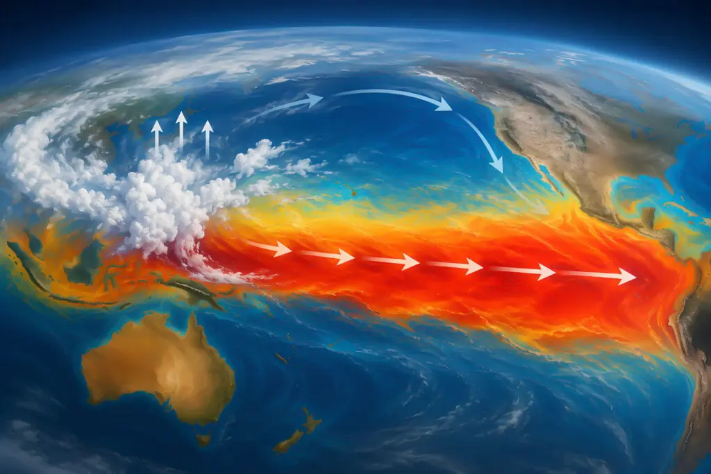
El Niño develops in the Pacific Ocean and is linked to a change in wind patterns, and it allows warm water to spread eastwards and releases heat into the atmosphere.
In recent month, in what is a clear sign of a strengthening El Niño, sea temperatures in the central and eastern tropical Pacific have risen sharply.
Surface temperatures have been well over 2C above average in the Pacific’s key monitoring region in recent weeks, putting it on track to be declared a “very strong” event.
However, it is now expected to surpass even that marker, as forecasts suggest monthly sea surface temperatures could get close to 4C above average.
By a potentially large margin, this would make it the strongest El Niño since at least 1950.
Below the surface of the Pacific temperatures are even more exceptional, in places more than 8C above average.
Such above-normal sea temperatures are also expected in other parts of the world including the Indian Ocean, tropical Atlantic and around parts of the Australian coast.
An “unprecedented” El Nino event next year will cause the hottest year on record in the UK, as per the Met Office which issued a new warning last month.
Since records began, the summer of 2026 is set to be the hottest on record in the UK, as in August, even average conditions mean that the temperatures surpassed the records set last year.
Due to this phenomenon, the weather pattern impacts rainfall and average temperatures across the globe.
Over the coming months, the 2026 El Nino is forecast to raise sea temperatures more than 3C, as the Met Office said that would make the weather event “the largest since the 19th century”.
According to the Met Office, the UK could face a greater risk of a wet, stormy autumn, following a summer of amber health alerts and advice on how to keep cool.
"We have many months to go while this event continues to develop," said Dr Zeke Hausfather, a climate scientist at Berkeley Earth, "and that's one of the reasons that we have increased confidence that this will be a record-setting event", Prof Adam Scaife, head of long-range forecasting at the Met Office said.

News

News

News

News
Alexander Harris: body of missing British trekker found in northern Pakistan
The search for Alexander Harris has ended with devastating news The body of 30-year-old British trekker Alexander Harris has been discovered in northern Pakistan, days after he went missing while descending a mountain, local officials have confirmed. Harris, who was originally from Birmingham, disappeared on Saturday after reaching the summit of Musa Ka Musala, a […]
News
5 min
Travel chaos as UK airport forced to close with flights cancelled
The airport is set to be closed for almost 10 hours A UK airport has been forced for almost 10 hours today with flights being cancelled leading to travel chaos. The airport is set to be shut for three periods throughout today (Thursday, 3 September) with flights and operations being stopped. This comes due to […]
News
29 min

News
Below Deck star Nathan Gallagher has arrest warrant issued against him
News