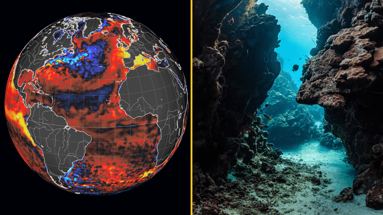
An El Nino is declared by scientists once sea surface temperatures in a key area of the Pacific run 0.5C above average.
And since the temperatures are already well over 2C above normal, the latest Met Office forecasts suggest the anomaly could exceed 3C.
This is unprecedented in records going back to 1950, and probably the strongest since the 19th century. Water 8C above normal at a depth of 100m could supercharge it further.
What El Nino means for the UK
El Nino recurs every two to seven years, when Pacific trade winds weaken and warm water spreads east, releasing heat into the atmosphere.
With below-average monsoon rains in India and suppressed Atlantic hurricane activity, there is growing evidence that those shifts have begun.
"We have many months to go while this event continues to develop," said Dr Zeke Hausfather, a climate scientist at Berkeley Earth, "and that's one of the reasons that we have increased confidence that this will be a record-setting event", Prof Adam Scaife, head of long-range forecasting at the Met Office said.
How the El Nino conditions developed
According to the US National Oceanic and Atmospheric Administration (NOAA), El Nino conditions are now under way in the tropical Pacific.
The agency said that “El Nino conditions developed over the past month, as shown by above-average sea surface temperatures (SSTs) across the central to eastern equatorial Pacific Ocean”.
As a sign that the atmosphere is now responding to the warmer ocean, not just the ocean warming on its own, NOAA has also seen the winds above the equatorial Pacific begin to shift.
The biggest concern about what El Nino is and why could it mean record temperatures is that all this is happening on an already much hotter planet.
According to Prof Adam Scaife, “we do need to worry about the impacts”.
“The current El Nino is… riding on top of a substantial amount of global warming.”
“This means that the actual temperatures in affected regions could well be unprecedented, as the warming from El Nino is being topped up by climate change.”
It comes after Trump said she should ‘reconsider’ her job White House press secretary Katie Zacharia has been fired after five days in the position, as per reports. Zacharia had a tough start to life in the role, hosting a briefing on Tuesday which caused a lot of criticism and raised a number of questions. […]
Analysts from the bank reckon a ‘Breturn’ would boost the UK economy by 2-5% by the start of the next decade. Goldman Sachs has said rejoining the European Union could boost the UK economy by as much as £150 billion. In a note to clients, the Wall Street bank voiced its support for Andy Burnham’s […]
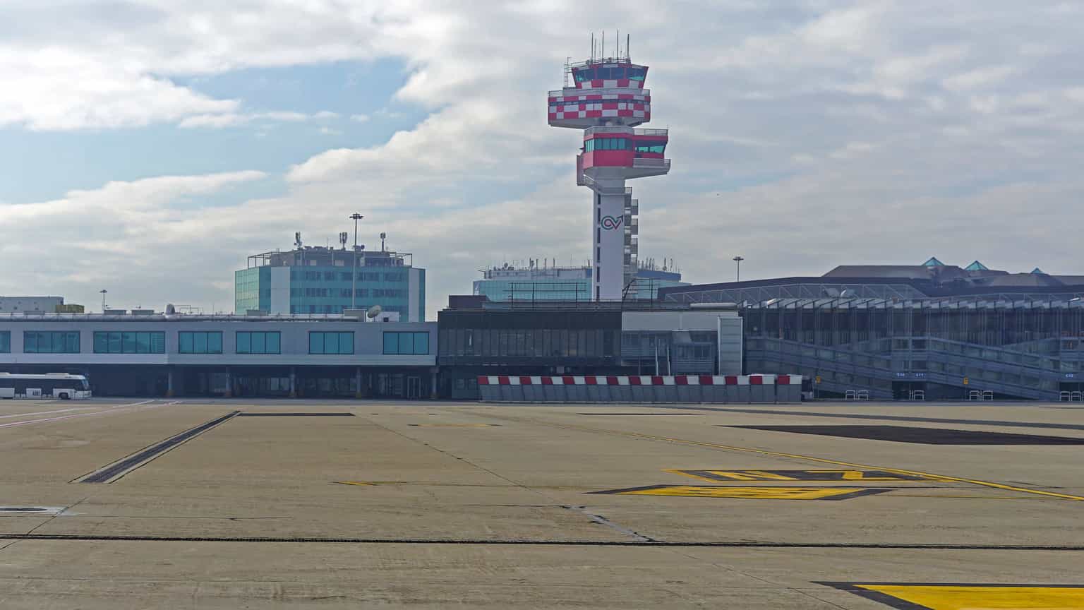
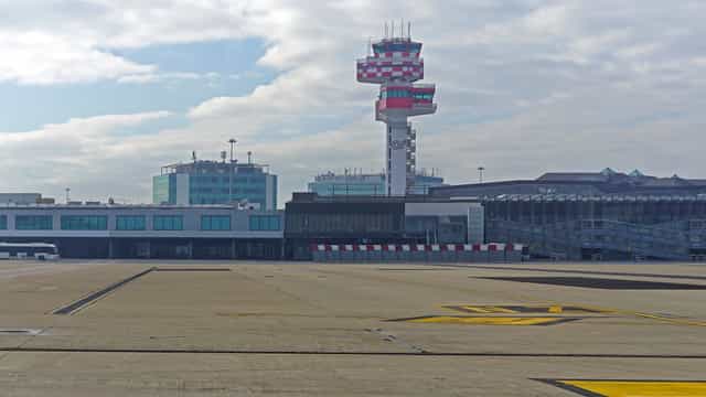
Air traffic management capacity has been slashed in half Travel chaos has struck Italy’s major airports after an air traffic control failure left capacity halved on Friday. Hundreds of flights across Italy have been delayed and over 100 cancelled due to “anomalies” with air traffic control (ATC) services. The Italian air navigation service provider, ENAV, […]