


News
Share
Published 15:50 2 Nov 2022 GMT
 (WX Charts)[/caption]
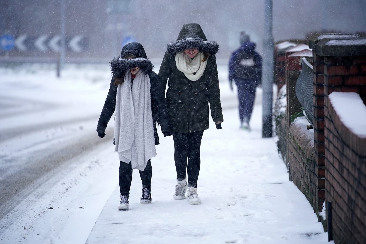
This will initially be the Highlands of Scotland before moving into more populated central areas and northern England.
Met Office spokesman Stephen Dixon says the sun isn't going to stick around for much longer this month.
He told the Express: "The potential for some cooler weather increases from mid-November, with the coldest places most likely to be in the northwest.
"There will be an ongoing chance later in the month that any showers could fall as snow for a time in the north, with the high ground most likely to see the highest of any accumulations.
"There isn’t a signal beyond what we’d normally expect for this time of year in terms of snowfall."
But in the next week or so it looks like we'll be treated to similar temperatures to that which we have had in October.
The Met Office's long-range forecast for November 7 to November 16 reads: "Monday will most likely bring unsettled and cloudy conditions with areas of rain or showers, locally heavy, likely to spread northeastwards.
https://twitter.com/metoffice/status/1587127264696832000
"Windy conditions likely with possible severe gales in exposed locations in the west. Continuing through the rest of the period, changeable and unsettled conditions are likely.
"Frequent spells of wet and windy weather, sometimes heavy, are likely further west and northwest, with an increasing chance of drier and brighter conditions in the southeast towards the end of the period.
"It will often be windy with strong winds and gales likely at times, particularly for coastal regions in the north and northwest. Temperatures are expected to generally be around average for this time of year."
Then, for the rest of November it adds: "A transition to more settled weather is expected during this period. While changeable conditions with spells of rain are still possible, especially at first, high pressure will become more likely in the vicinity of the UK, probably bringing drier and somewhat colder weather overall.
"With this increased likelihood of high pressure, overnight frost and fog are also expected to become more frequent."
Related links:
(WX Charts)[/caption]
This will initially be the Highlands of Scotland before moving into more populated central areas and northern England.
Met Office spokesman Stephen Dixon says the sun isn't going to stick around for much longer this month.
He told the Express: "The potential for some cooler weather increases from mid-November, with the coldest places most likely to be in the northwest.
"There will be an ongoing chance later in the month that any showers could fall as snow for a time in the north, with the high ground most likely to see the highest of any accumulations.
"There isn’t a signal beyond what we’d normally expect for this time of year in terms of snowfall."
But in the next week or so it looks like we'll be treated to similar temperatures to that which we have had in October.
The Met Office's long-range forecast for November 7 to November 16 reads: "Monday will most likely bring unsettled and cloudy conditions with areas of rain or showers, locally heavy, likely to spread northeastwards.
https://twitter.com/metoffice/status/1587127264696832000
"Windy conditions likely with possible severe gales in exposed locations in the west. Continuing through the rest of the period, changeable and unsettled conditions are likely.
"Frequent spells of wet and windy weather, sometimes heavy, are likely further west and northwest, with an increasing chance of drier and brighter conditions in the southeast towards the end of the period.
"It will often be windy with strong winds and gales likely at times, particularly for coastal regions in the north and northwest. Temperatures are expected to generally be around average for this time of year."
Then, for the rest of November it adds: "A transition to more settled weather is expected during this period. While changeable conditions with spells of rain are still possible, especially at first, high pressure will become more likely in the vicinity of the UK, probably bringing drier and somewhat colder weather overall.
"With this increased likelihood of high pressure, overnight frost and fog are also expected to become more frequent."
Related links:

News

News

News

News
GTA 6 players warned over driving licence requirement before playing blockbuster
The first GTA challenge isn’t in the game After more than a decade of waiting, Grand Theft Auto 6 is finally about to arrive. The long-awaited game launches on 19 November and is already being tipped as one of the biggest video game releases in history. However, Australian gamers, along with players in countries bringing […]
News
1 day ago
Only 6 per cent of Brits would volunteer to fight off invasion, poll reveals
Britons getting mogged by a survey A very small percentage of people in the UK would volunteer to fight for their country in the event of an invasion, according to a recent poll. The new survey by YouGov found that only 6% of people in the UK would volunteer to fight in the face of […]
News
1 day ago
Star of Godzilla vs Kong films Kaylee Hottle dies aged 19
News


