








News

Share
Published 15:05 12 Nov 2024 GMT
Updated 15:05 12 Nov 2024 GMT
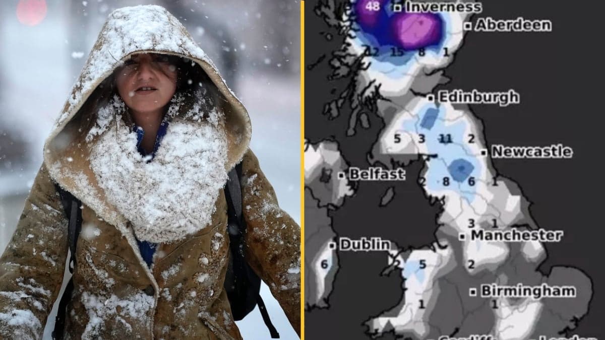
Forecasters predict that parts of the UK could see as much as 18 inches of snow later this month.
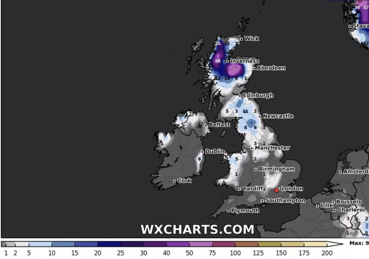
Weather projections suggest that the snowfall will arrive around Saturday, November 23, with Scotland likely to experience the heaviest accumulations. Other parts of the UK, such as Greater Manchester, are predicted to experience lighter snowfall on the same day, estimated to be about 3cm.
There's been a noticeable drop in temperatures in recent days. On Monday, Katesbridge in County Down recorded lows of just 0.3°C whilst other areas, such as Sennybridge in Powys, also experienced temperatures barely above freezing.
Weather maps from WXCharts suggest these chilly conditions will persist throughout the remainder of the month, leading up to potential snowfall in about two weeks, the Mirror reports. Additionally, the Met Office has indicated that there is a possibility of "wintry" showers.
In its latest extended forecast covering November 16 to 25, the Met Office mentions that rain and showers will affect many areas and could transition to "wintry" conditions.
However, it noted that the likelihood of conditions causing any significant or widespread disruptions is low.
The forecast also indicates that temperatures are expected to dip further in the coming days. On Wednesday, highs are likely to only reach around 8°C, with even colder conditions anticipated on Thursday, when temperatures may fall to 6°C in the Glasgow region and across Dumfries and Galloway.
But weather maps suggest otherwise, showing substantial snowfall anticipated in the Scottish Highlands. Some snowfall could extend as far south as the Home Counties and even reach the outskirts of Greater London by November 23.
Towards the end of the month, the Met Office advises that while snow could occur, it is most likely over higher ground in the north, with only a minimal chance of widespread or disruptive snowfall.
In its forecast for the end of the month, the Met Office says: "Some wintry precipitation is possible in places, with snow most likely to fall over high ground in the north. The chance of any widespread or disruptive snowfall is very low. Often windy, with a chance of gales at times, especially in the north and east. Temperatures probably near or below average with overnight patchy frost and ice."
Explore more on these topics:

News


News

News
News
Scary moment Jet2 plane veers off runway at major UK airport caught on camera
Storm Boelo brings another travel headache Passengers aboard Jet2 flight LS1310 from Venice to Birmingham were left shaken on Sunday after the Boeing 737-800 veered off the runway at Birmingham Airport following its landing. The plane landed at around 2.19pm local time before leaving the runway and moving onto the grass, the BBC reported. The […]
News
10h
Singer Chris Brown sentenced for London nightclub attack
He pleaded guilty to affray in July Singer Chris Brown has received his sentence today after pleading guilty to affray over a confrontation at a London nightclub. The US singer was handed an eight month prison sentence which is suspended for 12 months, meaning Brown will not be going to jail. The 37-year-old was accused […]
News
12h

News
Vincent Kompany taken to hospital after collapsing at Bayern Munich training ground
News