






News

Share
Published 13:03 20 Jul 2024 BST
Updated 13:04 20 Jul 2024 BST
If you've spent the last couple of days basking in the sunshine and thinking 'finally summer has arrived to the UK', then you might want to think again.
According to the Met Office, this mini-heatwave we've been enjoying will soon come to an abrupt end, and that it could be another couple of weeks before we're treated to rays of sunshine again.
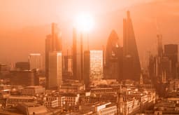
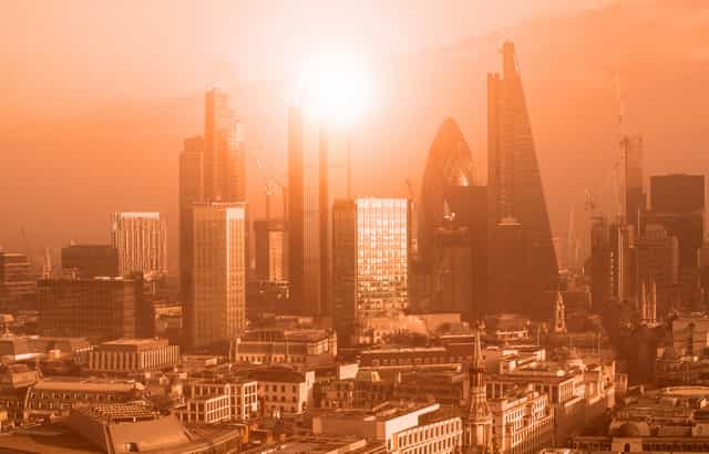
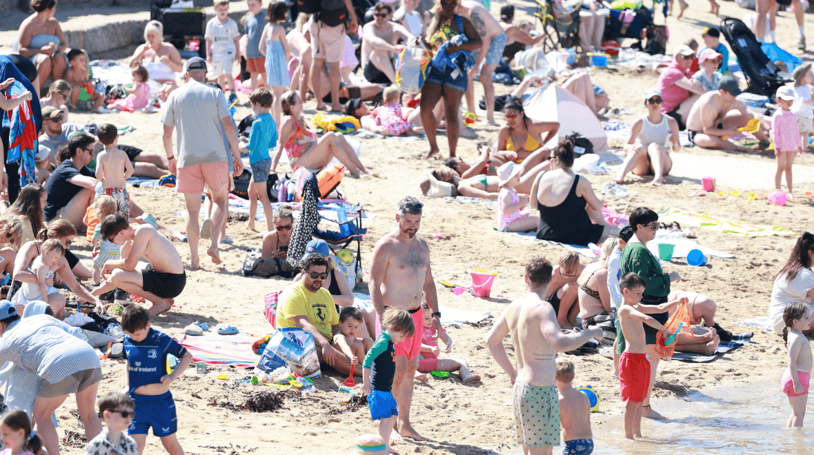
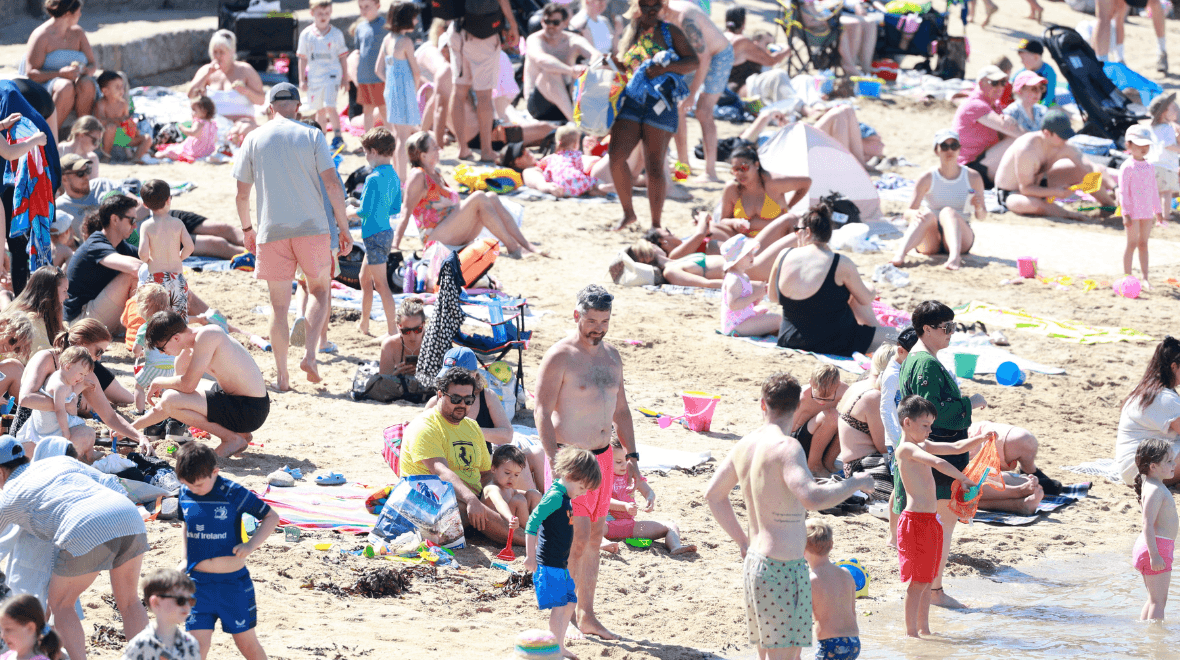
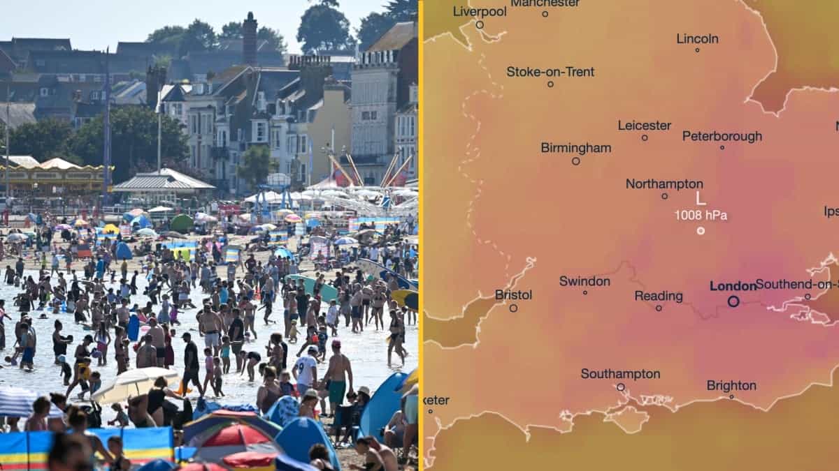
Yesterday gifted us with temperatures in the mid and high 20's across most of the UK, with the highest temperature of 31C being recorded in London's St James Park in the mid-afternoon.
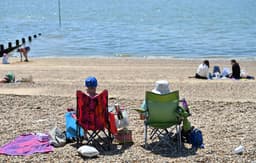
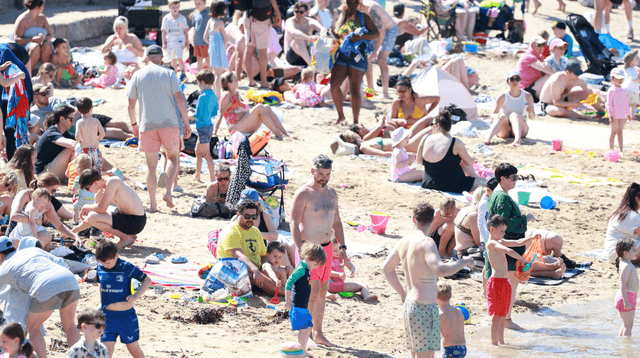
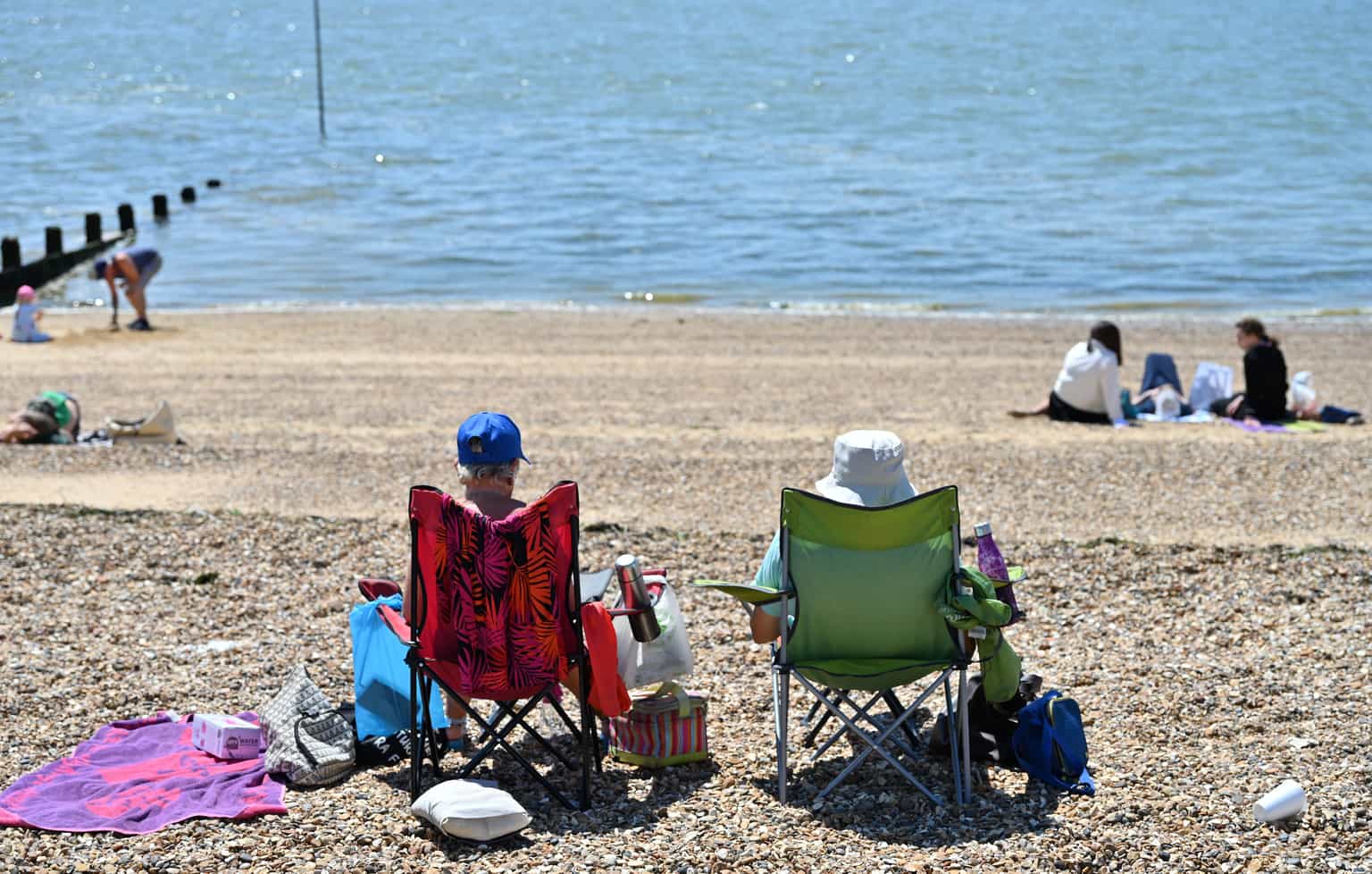
Workers sought out inner city sun-traps and green spaces for their lunch breaks, while those who were lucky enough to be off or on holiday took the opportunity to get some sunbathing in.
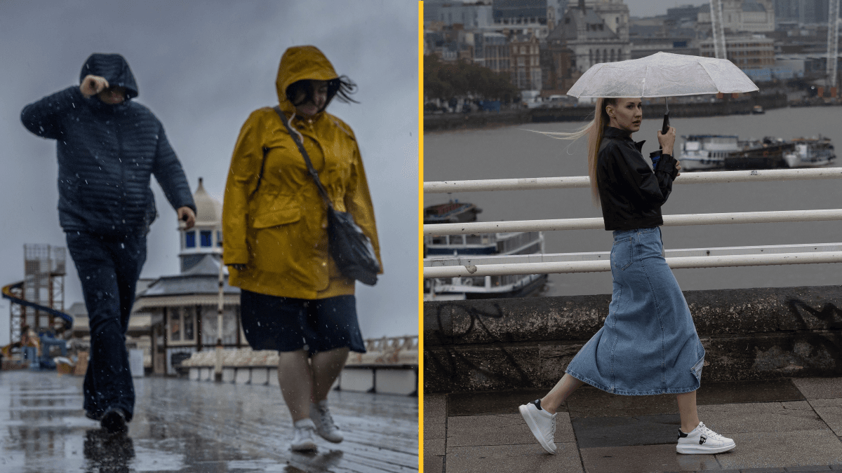
While temperatures still remain relatively high today, the sun will be covered by dark clouds in most places and rain will spread across the country from western to eastern areas.
Heavy rain continues to push in from the west this afternoon 🌧️
— Met Office (@metoffice) July 20, 2024
Brighter in the east with hazy sunshine ⛅
Another hot day in East Anglia with a chance of showers 🌦️ and feeling humid elsewhere 🌡️ pic.twitter.com/UknbYRgZkB
Speaking in the Met Office's 10-Day Trend video on YouTube, Meteorologist Annie Shuttleworth said: “For the last few weeks, we've been on the northern side of the jet stream and over the next few days, its position will change. It becomes a more amplified pattern, diving down well to the south of the UK and taking low pressure systems up to the north and west of the UK.
“But, as we head towards the weekend, Sunday most likely, will see the return of the stronger jet core to affect the UK, meaning it is going to turn a bit more unsettled and certainly cooler again.”
The risk of a few thunderstorms are in place across much of the north and west of the country but, if you're located in the south-east, you'll likely be left to enjoy dryer and warmer temperatures for a couple more days.
Outbreaks of rain will continue to push eastwards later this evening with some heavy bursts possible tonight and perhaps a few rumbles of thunder.
Sunday and Monday will bring cooler temperatures which some people will be crying out for, before temperatures rise again on Tuesday and Wednesday making way for clearer and brighter weather.
Met Office meteorologist Tom Morgan told Sky News that temperatures could rise again ‘right at the end of July’.
He said it is too early to tell if the mercury will top Friday’s reading, but ‘I certainly wouldn’t rule out a higher temperature in August or even later this month’.
There will be ‘occasional very warm or hot spells’ in August but there is ‘no strong signal’ that high temperatures will be prolonged or widespread across the UK, he added.
East and south-east England have already seen ‘almost double’ the rainfall expected for the whole of July.
Explore more on these topics:
News
News
News
News
Weather chart shows exact date UK faces hottest day in history
It looks like a long summer Weather forecasting models suggest temperatures could hit 41C in parts of the UK next week, while the Met Office says another heatwave is on the cards Brits could soon find themselves facing yet another heatwave as the UK may see its hottest day ever. According to the Met Office, […]
News
2 months ago
Government issues statement on maximum working temperature as heatwave fries UK
It comes as the UK experienced its hottest ever June day this week Brits across the country are feeling the heat, as the mercury soars this week, and red weather warnings being issued for parts of the country. Earlier this week the previous amber warning was upgraded to a red ‘danger to life’ extreme heat […]
News
2 months ago
Six UK areas hit with avalanche warnings as amber ‘hazard’ issued
News