


News
Share
Published 09:00 22 Aug 2022 BST

 Crowds gathered in May during previous hot weather in the UK (Photo by John Keeble/Getty Images)[/caption]
"There's certainly high indications at the moment that we're going to see high pressure build which could bring some more settled dry, sunny weather for parts of the country."
In short, the UK could reacher higher temperatures than Mexico City at some points this week and next week, which isn't the expectation even for this time of year. However, the city - including Northern Texas - is facing tropical storm warnings at the moment.
https://twitter.com/metoffice/status/1561390329672380416
Meanwhile, over at Sky News the weather team have said more settled conditions are expected for the bank holiday weekend with temperatures becoming warm or possibly very warm in the South East, while not reaching conditions to rival the recent heatwave.
The broadcaster's weather presenter Jo Edwards said: "That is certainly what the data is showing at the moment.
"The next few days will be unsettled. Temperatures will be close to normal in the North but warm and humid in the South.
"High pressure begins to build in on Thursday with the promise of more settled conditions for the bank holiday weekend. However, complications aloft means showers/rain can't be ruled out - and would be most likely in the South and North West.
[caption id="attachment_335660" align="alignnone" width="2048"]
Crowds gathered in May during previous hot weather in the UK (Photo by John Keeble/Getty Images)[/caption]
"There's certainly high indications at the moment that we're going to see high pressure build which could bring some more settled dry, sunny weather for parts of the country."
In short, the UK could reacher higher temperatures than Mexico City at some points this week and next week, which isn't the expectation even for this time of year. However, the city - including Northern Texas - is facing tropical storm warnings at the moment.
https://twitter.com/metoffice/status/1561390329672380416
Meanwhile, over at Sky News the weather team have said more settled conditions are expected for the bank holiday weekend with temperatures becoming warm or possibly very warm in the South East, while not reaching conditions to rival the recent heatwave.
The broadcaster's weather presenter Jo Edwards said: "That is certainly what the data is showing at the moment.
"The next few days will be unsettled. Temperatures will be close to normal in the North but warm and humid in the South.
"High pressure begins to build in on Thursday with the promise of more settled conditions for the bank holiday weekend. However, complications aloft means showers/rain can't be ruled out - and would be most likely in the South and North West.
[caption id="attachment_335660" align="alignnone" width="2048"]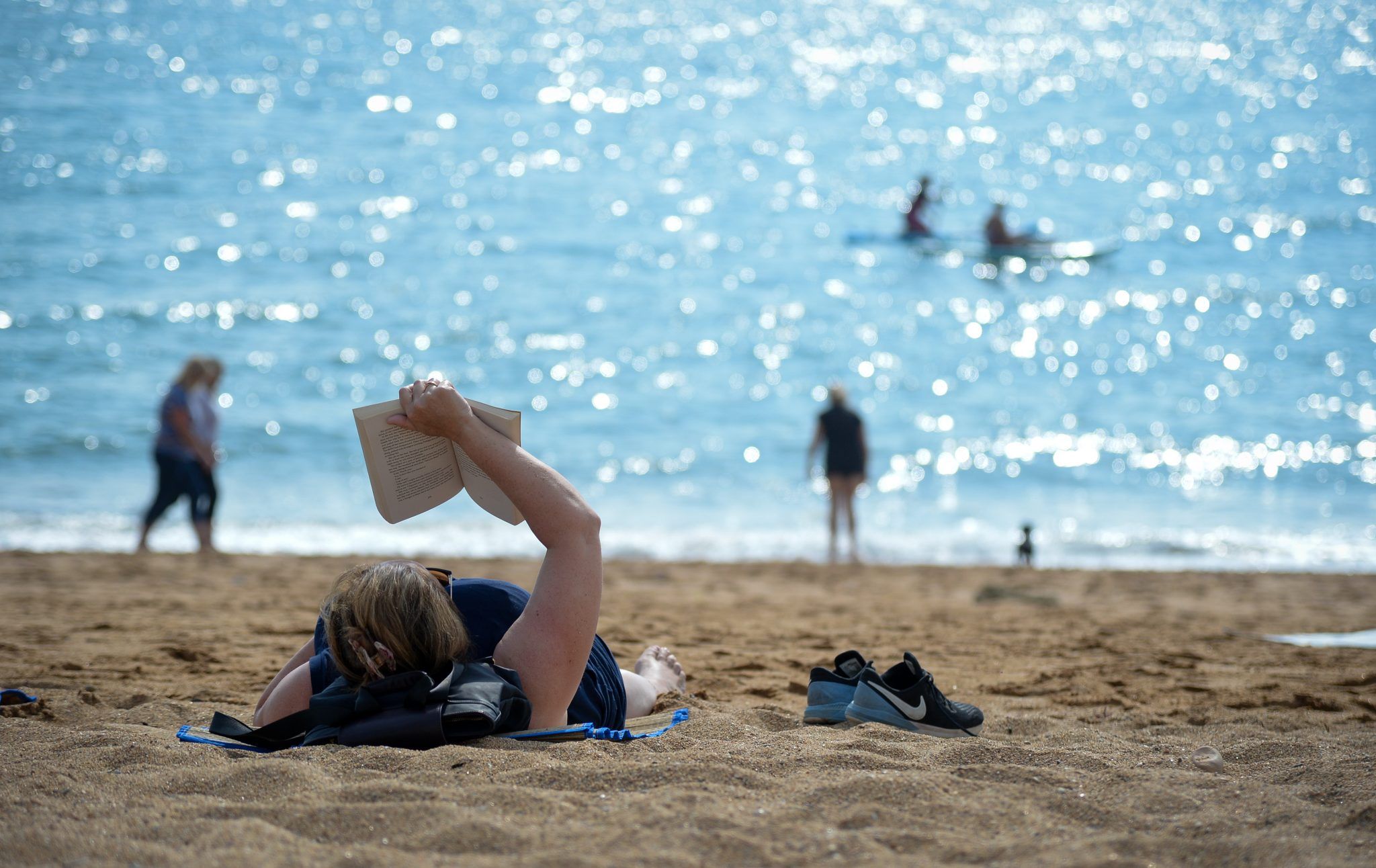 The United Kingdom will be warmer than Mexico (Photo by Finnbarr Webster/Getty Images)[/caption]
"It does look as though it'll become warm or possibly very warm in the South East but not the sort of conditions to rival the recent heatwave."
The Met Office said there was likely to be a northwest-southeast split in the weather, with cooler conditions probable in the northwest of the UK.
Its long range forecast for the period covering the bank holiday weekend, from Thursday 25 August to Saturday 3 September, said: "After an unsettled week, settled conditions are expected to spread over the UK during this period, bringing fine and dry weather to most places.
"Stronger winds and some showers are likely in the North and North West, and further thundery showers are also possible across the South and South East in the early part of the period.
"A northwest/southeast temperature split may also develop, where cooler air will characterise the North, with the South becoming very warm and perhaps feeling humid.
"By the end of this period fine and dry weather is likely to prevail for many, albeit with the odd shower again in the South and North West. Light winds are likely with plenty of sunshine, and temperatures generally warm or locally very warm in the South."
The return of dry weather will do nothing to relieve the impending water restrictions, with Thames Water and Yorkshire Water both due to implement hosepipe bans this week.
The United Kingdom will be warmer than Mexico (Photo by Finnbarr Webster/Getty Images)[/caption]
"It does look as though it'll become warm or possibly very warm in the South East but not the sort of conditions to rival the recent heatwave."
The Met Office said there was likely to be a northwest-southeast split in the weather, with cooler conditions probable in the northwest of the UK.
Its long range forecast for the period covering the bank holiday weekend, from Thursday 25 August to Saturday 3 September, said: "After an unsettled week, settled conditions are expected to spread over the UK during this period, bringing fine and dry weather to most places.
"Stronger winds and some showers are likely in the North and North West, and further thundery showers are also possible across the South and South East in the early part of the period.
"A northwest/southeast temperature split may also develop, where cooler air will characterise the North, with the South becoming very warm and perhaps feeling humid.
"By the end of this period fine and dry weather is likely to prevail for many, albeit with the odd shower again in the South and North West. Light winds are likely with plenty of sunshine, and temperatures generally warm or locally very warm in the South."
The return of dry weather will do nothing to relieve the impending water restrictions, with Thames Water and Yorkshire Water both due to implement hosepipe bans this week.
Explore more on these topics:

News

News

News

News
Andrew Tate and brother Tristan Tate arrested in US
The brothers face 59 combined charges Brothers Andrew and Tristan Tate have been arrested in the US in connection with an investigation headed up by UK police into a number of sexual offences. The Tates were arrested in Miami on Saturday and have been detained pending ongoing legal proceedings. In a statement, Bedfordshire Police said […]
News
20h
BBC’s new sci-fi show earning rave reviews, here’s how to catch-up
‘Sure, it’s a show about a robot, but it’s shot through with a love and care that are entirely human.’ Ann Droid, the BBC’s new sci-fi comedy series, has earned rave reviews from critics following its premiere this week. Created by and starring Diane Morgan (Cunk on Britain) and Sarah Kendall (Frayed), the six-part show […]
News
1 day ago

News

News
A quick guide to Andy Burnham: the journey so far
News

