








News

Share
Published 17:29 15 Jan 2026 GMT
Updated 17:29 15 Jan 2026 GMT
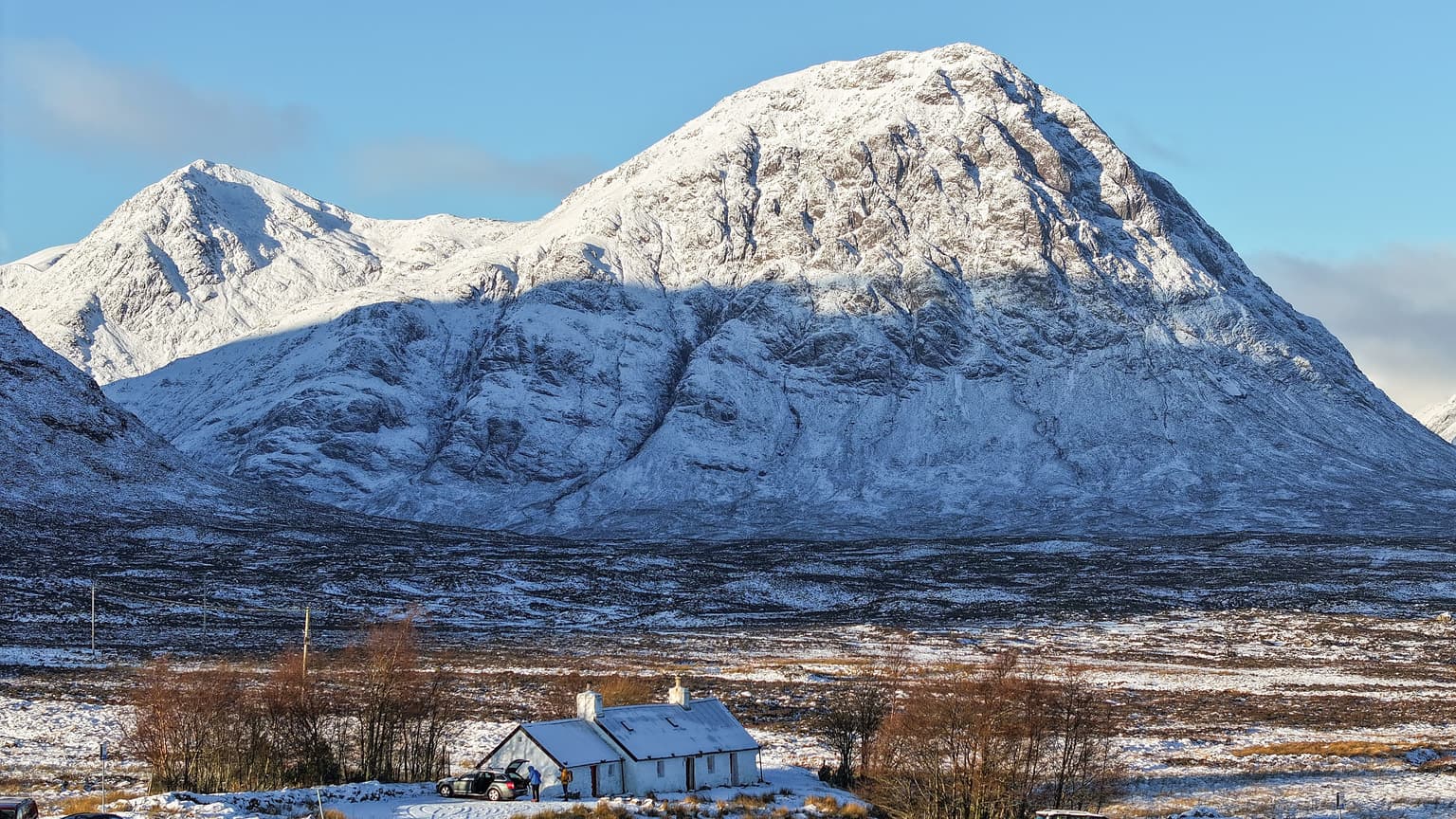
Six areas in the UK have been placed under avalanche warnings as the nation braces for another bout of cold weather and snowfall.
The warnings have been issued for high ground in the wake of at least two avalanches occurring in the last 48 hours.
The Scottish Avalanche Information Service (SAIS) has issued four yellow "moderate hazard warnings" and two amber "considerable hazard" warnings for parts of the Highlands.
Two of the yellow warnings were issued for the northern and southern parts of the Cairngorms National Park with overnight snowfall and strong winds increasing the chance of 'windslabs' to form.
Another area which has been placed under yellow warning is Glencoe with snow expected overnight and into the day.
A third area, Torridon, in the north west of Scotland, has also been issued a yellow warning too.
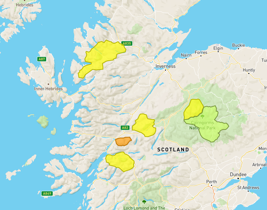
The first of the amber warnings is marked for the Lochaber area near Fort William and Ben Nevis with reports of three avalanches already happening in the area.
The SAIS said: “Gale force Southerly winds easing to strong and veering to a south-south-westerly direction.
“Frequent snow showers are expected. The freezing level will rise to around 950m, overnight, lowering to 700, during the day.”
Creag Meagaidh has also been issued an amber warning which reads: "Persistent snowfall throughout the period with rain at lower elevations. Freezing at 900m briefly overnight then at 700m thereafter. Strong south-south-west winds easing to moderate in the early hours.”
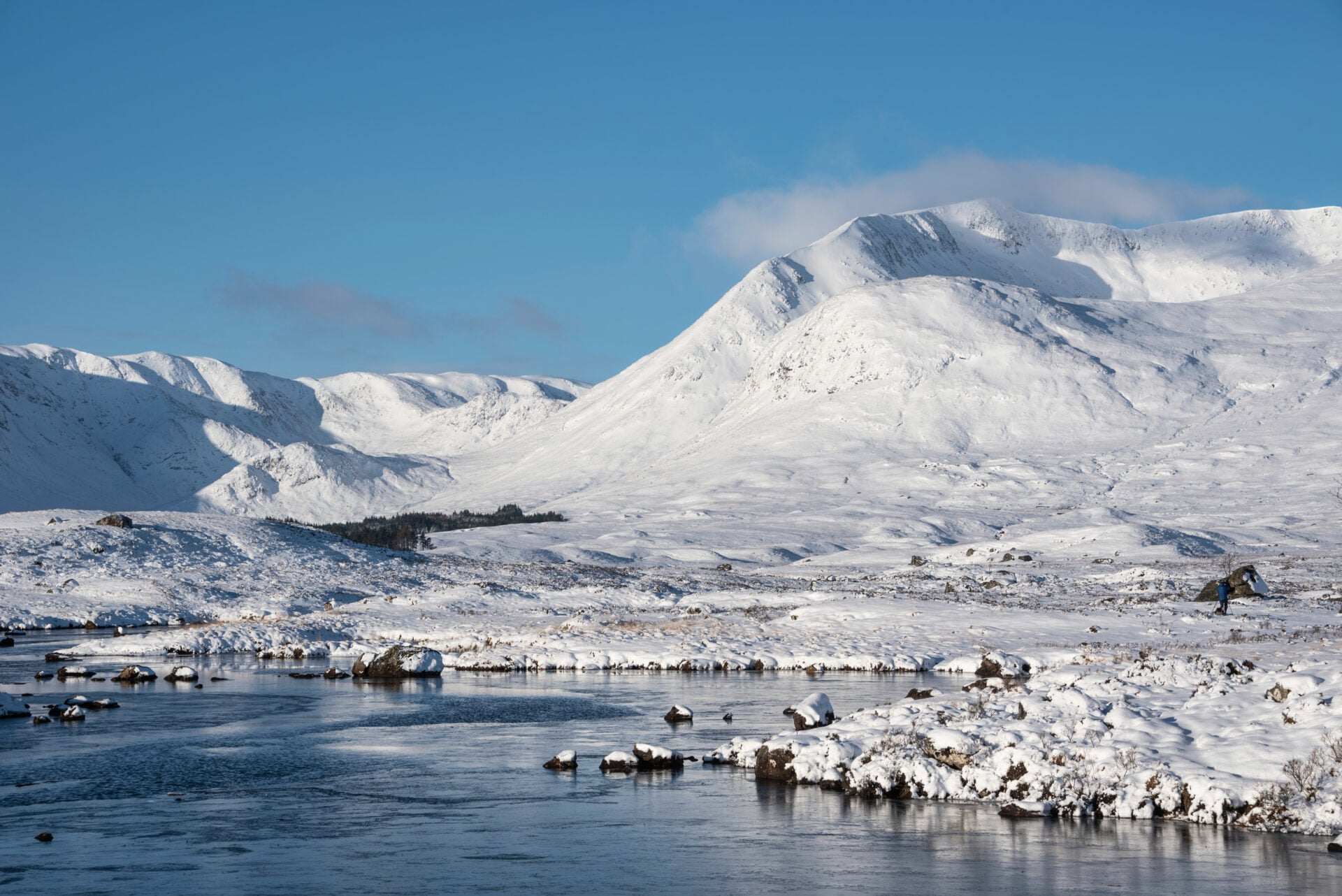
These avalanche warnings come ahead of a return of cold weather across the nation, with the Met Office forecasting chillier temperatures for the end of January.
The long range forecast for 19 to 28 January warns of "an increased chance of cold conditions affecting parts of the UK, and the associated risk of wintry hazards at times".
It reads: "Later in the period, there is an increased chance that conditions will turn colder. This aspect of the forecast is still somewhat uncertain but the potential transition to colder weather also increases the chance of snow across parts of the country."
Dan Holley, Met Office Deputy Chief Meteorologist, said for this week: “A deepening area of low pressure will head north eastwards across the UK on Thursday, bringing heavy rain and potentially strong winds. The exact track of the low is uncertain, so it’s best to keep an eye on the forecast as the week progresses and we firm up on the details.”

News

News
News
Supervolcano with the force of one million nuclear bombs found deep in UK’s east coast
Scientists found it was thousands of times greater than Mount Etna Scientists have uncovered the remains of a supervolcano on England’s east coast as experts believe it explains a huge layer of volcanic ash spread across northern Europe. Located beneath The Wash, between Norfolk and Lincolnshire, it reached approximately 65km (40 miles) in diameter. The […]
News
1 day ago
Google renames Lake Ontario to ‘Lake America’ amid escalating trade war with Canada
A second body of water that Google has renamed under Trump rule It’s been well over a year since US President Donald Trump has renamed a body of water, with this last decree taking place on 20 January 2025, a somewhat controversial way of starting one’s presidential term. Mexico fought the name change, arguing that […]
News
1 day ago
News
Paragliders for British troops: the £6m plan to fly up to 200 miles behind enemy lines
News