








News

Share
Published 15:53 11 Aug 2024 BST
Updated 15:53 11 Aug 2024 BST
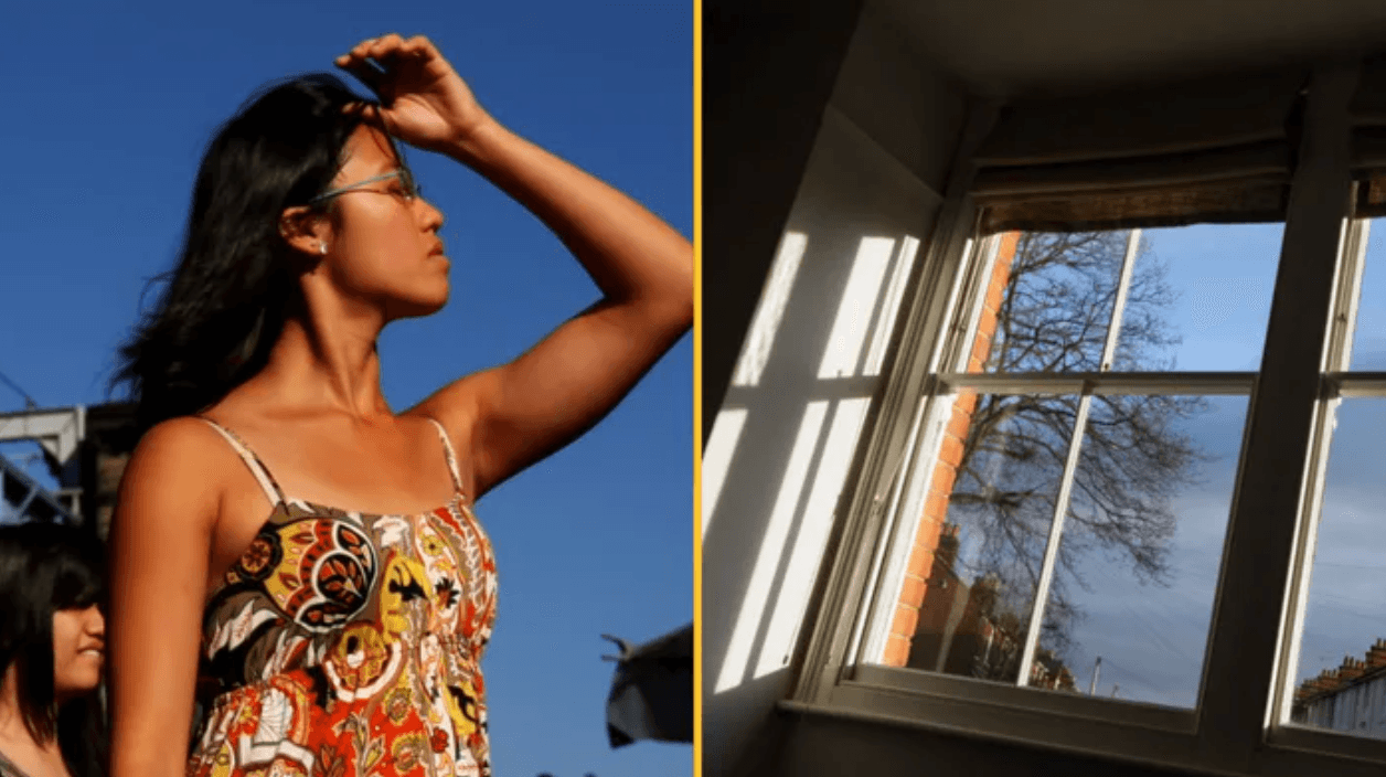
Households in the UK are being warned to keep their windows and curtains closed from now today until Tuesday because of rising temperatures.
While many harbour the belief that leaving your windows open to let a breeze in is the best way to keep your home cool during high temperatures, the opposite is actually the best way to ensure comfort and relief from the heat.
Advice from the UK Health Security Agency suggests that closing your windows and keeping the blinds down is the best way to make sure you arrive home to a cool and relieving home in the evening.
With highs of 33C in some parts of the UK, we’re all collectively dreading to go the bed in our sauna/bedroom tonight.
The hot weather is set to continue until early tomorrow, despite the interruption of thunderstorms through the night.
The heatwave is expected to fade and give way to rain, thunder and more unsettled conditions, according to forecasters.
Instead of opening your windows wide and inviting the heat in to engulf your home, it is much easier to prevent a room from getting hot by blocking direct sunlight.
Shutting blinds and curtains during the day can keep a room cool.

It’s also wise to open all internal doors if you’re trying to cool a room down, as this will maximise airflow through the house.
It is counter-intuitive to use appliances that generate heat in a room you are trying to cool, so keep this in mind before deciding to use ovens, hair dryers or other electrical appliances.
Earlier this year, the UKHSA issued a 'Beat the heat' checklist to help people create the best conditions for surviving high temperatures at home.
The article lists seven things you can do to reduce heat in your home over the next couple of days.
According to weather reports, the weather will peak on Monday with 34C highs in London and the south, forecasters say.
The heatwave is likely to be broken up by a thunderstorm as the remnants of Storm Debby sweep the country, with everywhere feeling the brunt.
The Met Office forecast for August 15 onwards explains: "Through the middle of August, a mobile westerly pattern is expected. A series of low-pressure systems are likely to track eastwards, mainly over or to the north of Scotland but perhaps also further south at times.
"The associated fronts will bring spells of cloud and rain at times, perhaps occasionally accompanied by rather breezy or unseasonably windy conditions in places, but interspersed with brighter, more showery periods. Most of the wet weather will tend to be focused in the west and northwest, with longer drier spells further south and east.
"Temperatures overall will be close to or perhaps a little below average, however there is a small possibility of very warm conditions returning to parts of the south and east, this perhaps most likely later in the period."

News
News

News

News
Loch Lomond crash: boy, 16, and man, 80, killed in light aircraft crash near Drymen
Major incident declared after fatal plane crash Two people have died following a light aircraft crash in Stirlingshire, prompting a major emergency response and an investigation into the circumstances surrounding the incident. The victims were a 16-year-old boy and an 80-year-old man, who were both found dead after the aircraft came down near Drymen on […]
News
2 days ago
White House press secretary Katie Zacharia fired after five days in position
It comes after Trump said she should ‘reconsider’ her job White House press secretary Katie Zacharia has been fired after five days in the position, as per reports. Zacharia had a tough start to life in the role, hosting a briefing on Tuesday which caused a lot of criticism and raised a number of questions. […]
News
2 days ago
Piers Morgan urges Trump to side with Ukraine against ‘modern-day Hitler’ Putin
News