


News
Share
Published 14:28 1 Dec 2024 GMT
Updated 16:08 1 Dec 2024 GMT
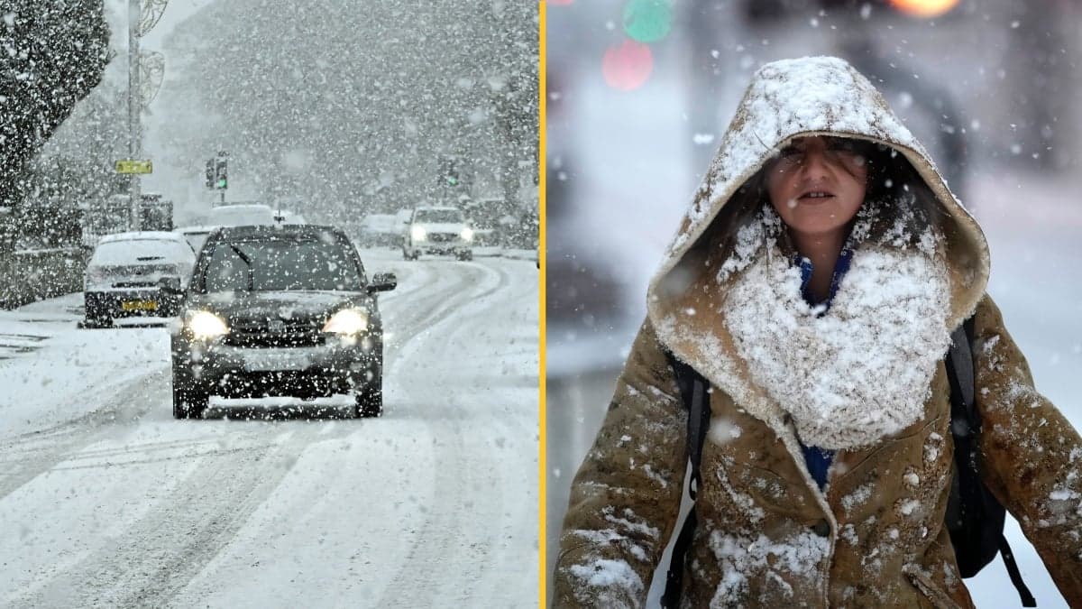
Temperatures are set to drop as low as -7C in some places in the UK tomorrow as a new arctic blast is set to whisk away the mild weather of recent days.
After enduring a harsh cold snap that saw snow fall across the British Isles, milder temperatures arrived to beckon in advent and the Christmas period.
Some places in the UK have even been predicted to see highs of 16C on Sunday, however, the cold is set to return and Jack Frost is not messing about.
The cold front is expected to affect primarily the North of the UK with Manchester seeing a halving in temperature as night time is set to bring freezing conditions around 0C.
Meanwhile Sheffield and Glasgow are set for a drop by 7C with Inverness predicted to endure -3C through Monday evening.
Sky News weather producer Chris England said that he return of wintry conditions would bring "a risk of icy stretches and some dense freezing fog".
"Rain spreading from the west on Tuesday will turn to snow on northern hills as it moves into the cold air," he said.
"There's the potential for some disruption on the higher routes.
"The cold weather will linger in the north into Wednesday, but it'll be turning milder in the south," he added.
The highest temperatures will be in south-west England on Sunday.
Temperatures are expected to be below average from Monday with wind and rain set to make an appearance.
Tuesday is predicted to see a band of rain gradually moving in from the west.
So it looks like it's time to gear up, grab the winter coat and brolly, and get return for the return of winter.

News

News

News

News
Zelenskyy denies claim he took cocaine with Macron in interview with far-right MAGA influencer
‘Of course never, of course not’ Rumours that he took cocaine with French president Emmanuel Macron were denied by Ukraine’s president Volodymyr Zelenskyy, during a bizarre interview with an influencer from the far-right. Zelenskyy denied the claims in the interview with Laura Loomer, who is a close ally of US President Donald Trump and also […]
News
1 day ago
Huge explosion ‘shakes Essex’ as more than 100 firefighters tackle blaze
The explosion was caught on camera A huge explosion has ‘shaken a UK county’ as more than 100 firefighters are on scene tackling a large blaze. Emergency services were called to a large fire in Essex today which broke out at an industrial site. The incident, which happened on Southend Road, between East Hanningfield and […]
News
2 days ago

News
Dubai offering £600 rewards to residents who lure friends there as tourists
News


